BWCA EP 51 - Missing Link Lake
Route: Round Lake, Missing Link Lake & Tuscarora Lake.
August 2025
Conditions: Unseasonably warm late-August conditions with daytime temperatures reaching into the low 80s. Clear skies persisted throughout much of the trip, though regional wildfire smoke from Canadian fires created a noticeable haze across the lakes — tinting the sun a deep red along the horizon during evening travel. Overnight, conditions shifted to partly cloudy skies with improved visibility as the moon rose above the Tuscarora basin.
Purpose of Journey: To travel the Missing Link–Tuscarora route as a small group expedition, documenting late-season travel conditions along one of the more physically demanding portages in the eastern Boundary Waters while introducing a younger paddler to extended wilderness travel.
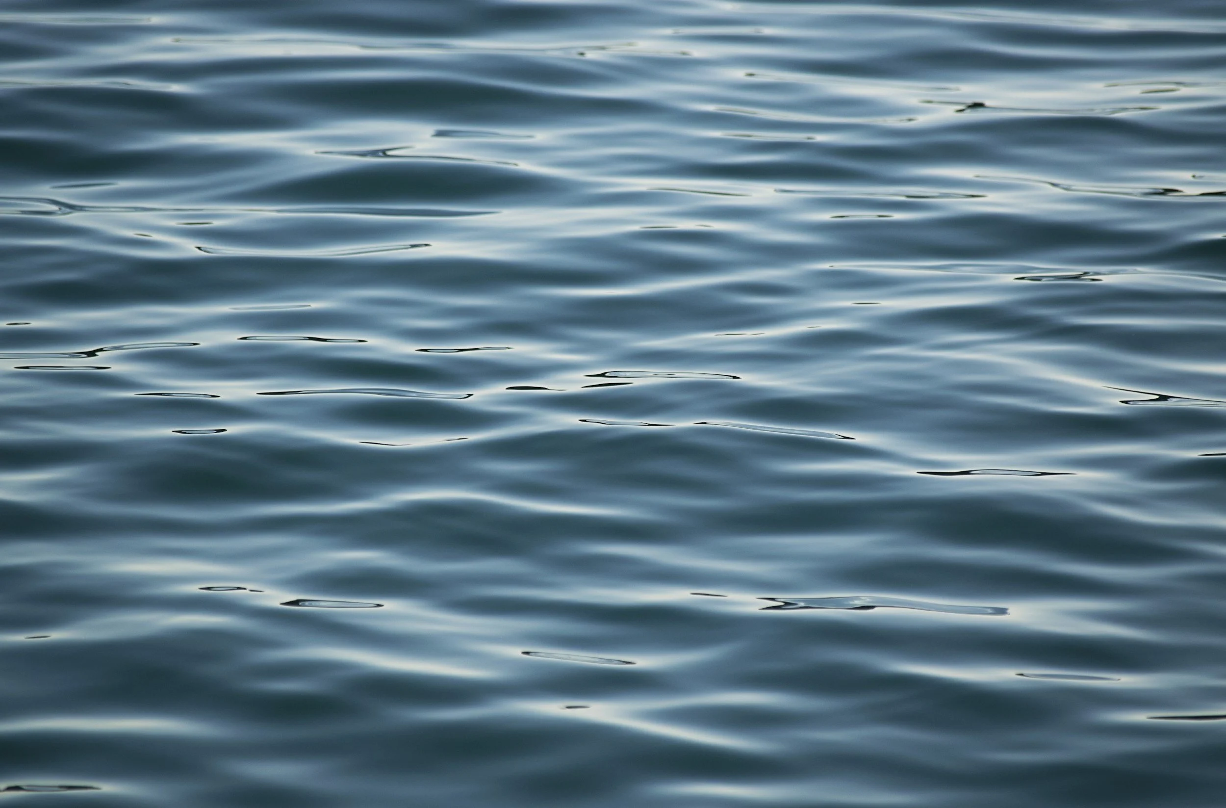
Field Notes: This journey began at BWCA Entry Point 51 (Missing Link Lake), launching into a warm stretch of late-season travel conditions that contrasted with the more typical cool transitions of August in the eastern BWCA. From the initial paddle across Missing Link, the route carried us toward the well-known portage into Tuscarora Lake — a trail with a longstanding reputation for both length and difficulty within canoe country.
Wildfire smoke drifting south from Canadian burn zones settled across the region during the day, muting distance and flattening the light across open water. By evening, the sun hung low in the haze — appearing as a dull red disk through the smoke before dropping below the tree line.
Travel was shared between three paddlers — Nate, Norah, and myself — with Norah’s running commentary and steady curiosity shaping the pace of the journey as much as terrain or weather. Movement along the Tuscarora portage was slow but consistent, marked by muddy footing and extended carry time beneath the canopy.
Nightfall brought partial clearing overhead. With the moon rising between broken cloud layers, visibility returned across the basin and the stillness of the lake settled in — briefly reframing the day’s effort against the quiet that followed.
The route through Missing Link Lake toward Tuscarora passes through terrain that has long been shaped by Indigenous travel and place-based knowledge. While the Anishinaabe traditionally inhabited and traveled this region of northern Minnesota, the name “Tuscarora” itself comes from the Tuscarora Nation of the Haudenosaunee Confederacy—reflecting a broader pattern of Indigenous place names applied across the North American landscape. In this way, modern maps carry layered histories, where local travel routes used for generations by canoe intersect with names drawn from distant Native nations, quietly embedding cultural memory into the geography of the Boundary Waters.
BWCA EP 47 - lizz & Swamp lake
July 2025
Route: Poplar Lake, Lizz Lake, Caribou Lake, Horseshoe Lake, Allen Lake, Pillsbury Lake, Henson Lake, Gaskin Lake & Jump Lake.
Conditions: Late-July travel conditions with generally clear skies overhead and moderate insect activity throughout the route. While surrounding storm systems remained active in the region — with visible rainfall and lightning observed across nearby lake basins — our travel corridor remained largely dry. Passing cloud cover and distant thunder offered intermittent views of weather systems in motion without direct precipitation along the route.
Purpose of Journey: To complete a single-day traverse through the Liz–Caribou–Vista chain alongside fellow Clearwater outfitter Colin, covering nine lakes and approximately twenty miles within a 24-hour travel window.
Field Notes: Launching from BWCA Entry Point 47 (Liz & Swamp Lakes), this route carried us through a sequence of interconnected basins including Caribou, Horseshoe, Gaskin, Allen, Jump, and Vista — with the goal of covering twenty miles of travel across nine lakes in the span of a single day.
Storm systems developed and moved around us throughout the trip, with rain shafts and lightning frequently visible in the distance. At several points, conditions suggested the likelihood of incoming weather, though shifting wind patterns ultimately allowed us to continue without encountering direct rainfall.
Over time, I’ve found that many of the trips I’ve considered postponing due to forecasted rain have become some of the most visually dynamic journeys — offering rare views of atmospheric conditions unfolding across open water. Moving through the chain under blue sky while watching storms build and dissipate beyond the treeline provided a clear reminder of how the surrounding elements often shape the experience as much as the route itself.
Travel was shared with Colin, each of us maintaining a steady pace through the portages and crossings, with long stretches of silence returning between wind gusts and the occasional roll of distant thunder.
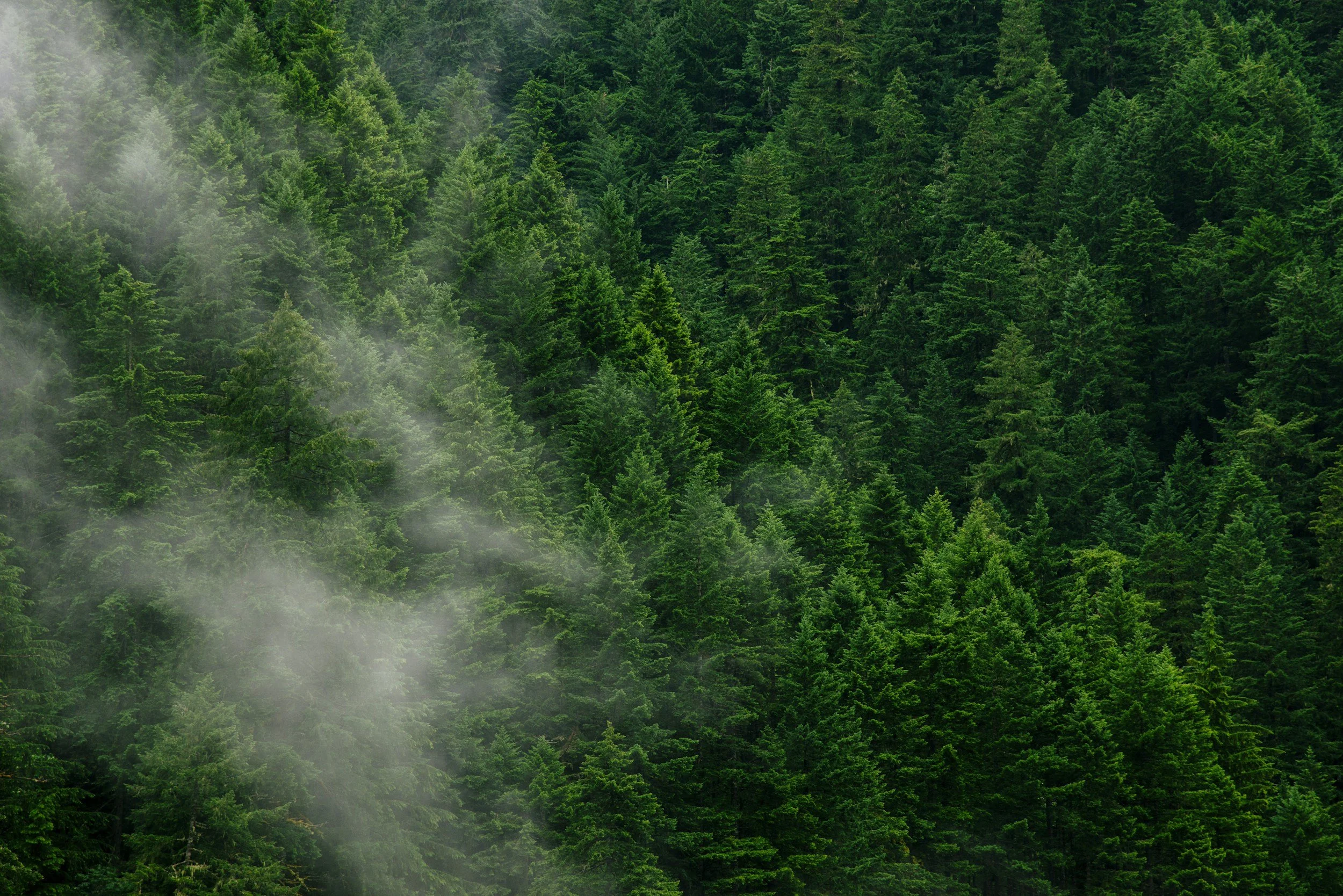
The sheltered waters of Liz and Swamp Lakes sit within a corridor of travel historically used by the Anishinaabe to move between inland lake systems and larger watershed routes to the south. These smaller lakes and connecting wetlands would have supported fishing, trapping, and the gathering of plant materials used for food and medicine. Portage paths through this terrain often followed the driest natural ridges between marsh and forest, creating passageways shaped by generations of seasonal travel across a landscape navigated by canoe and deep familiarity with place.

BWCA EP 69 - John lake
July 2025
Route: Mcfarland Lake, Royal River, Little John Lake, John Lake, East Pike Lake, West Pike and Clearwater Lake.
Conditions: Mild summer conditions with stable weather throughout the duration of the trip. Daytime temperatures remained comfortable for travel and fishing, with light winds across the Pike chain. Clear skies during the evening hours provided intermittent aurora visibility on the first night from East Pike Lake campsite #3.
Purpose of Journey: To assess reported smallmouth bass fishing conditions on East Pike Lake through direct field experience, following repeated anecdotal accounts of strong summer populations within the Pike chain.
Field Notes: This journey began at BWCA Entry Point 69 (John Lake), launching from McFarland Lake and moving north through Little John before crossing into John Lake and continuing on to East Pike.
We established a two-night basecamp at East Pike Lake campsite #3 — a site locally associated with a past mountain lion sighting, adding a subtle layer of awareness to an otherwise calm stretch of border country travel. Classic terrain defined the route: clear water, tight portages, and long intervals of quiet broken only by wind across the surface and the echo of loons along the shoreline.
Fishing became the primary rhythm of the trip. Over two days on East Pike, smallmouth bass proved active with several larger fish brought in, while northern pike remained notably less responsive. Having heard repeated accounts of strong bass populations in this area, the goal was to confirm those reports through time spent on the water — a process that ultimately shaped the pace of the journey itself.
Travel was shared with longtime canoeing partner Nate, each of us paddling solo canoes. Moving independently but within visual range allowed for both efficient travel and extended periods of quiet observation across the lake.
On the first evening, intermittent auroral movement became visible overhead — a slow shifting presence across an otherwise still sky that briefly reoriented the scale of the landscape around us.
The return route carried us west through the Pike chain before exiting onto Clearwater Lake, ending the trip with calm water, tired shoulders, and the familiar reluctance that accompanies leaving a place only partially understood.
John Lake lies within a web of smaller interior lakes that were historically part of seasonal travel and subsistence patterns for the Anishinaabe. Lakes like these—connected through short portages and narrow channels—provided reliable fishing grounds and quiet campsites during movement between larger waterways and inland hunting areas. The routes linking John Lake to surrounding waters follow natural contours in the terrain that would have been recognized and used long before modern maps, forming part of a lived geography shaped by generations traveling these forests by canoe.
⚠️ Quick Note on the Mountain Lion:
There are documented but unconfirmed reports of mountain lion sightings in Cook County and the greater Superior National Forest region, occasionally investigated by the Minnesota Department of Natural Resources. Most are transient individuals passing through rather than established populations.

Watap Cliffs - BORDER ROUTE TRAIL
JuNE 2025
Route: Clearwater Lake / Border Route Trail
Conditions: Variable early-summer conditions with broken cloud cover and intermittent blue sky throughout the day. Distant rain showers moved across adjacent lake basins, remaining largely offshore while contributing to shifting light across the cliffs. Light regional haze from Canadian wildfire smoke was present at elevation, subtly muting contrast along the horizon while allowing for dynamic cloud movement overhead.
Purpose of Journey: To document Watap Cliffs as part of the inaugural entry in the Along the Border Route Trail series — a developing effort to revisit and record significant overlooks and ecological features along the Border Route Trail through direct seasonal observation.
Field Notes: This hike brought Katrina and I back to Watap Cliffs via boat access from Clearwater Lake, followed by the short spur trail connecting Campsite #1 to the Border Route Trail. Positioned roughly sixteen miles west of the trail’s eastern terminus, the overlook rises above the international boundary — offering extended views across Watap Lake, Mountain Lake, and into the forested interior of Ontario.
Cloud systems moved through the region throughout the day, with rain visible in the distance beyond the border lakes. A light presence of smoke from Canadian fires lingered at elevation, softening the far treeline while allowing breaks of blue sky to pass between cloud layers. The result was a shifting atmosphere across the basin — where light and shadow moved slowly over open water and exposed rock.
Having returned to this overlook multiple times across seasons, the vantage point continues to reveal subtle changes in tone and visibility — reinforcing the value of repeated visits to the same landscape under evolving environmental conditions.
The dramatic rise of the Watap Cliffs overlooks a section of the international border that has long been part of traditional Anishinaabe travel routes through the border lakes region. These elevated rock formations would have served as natural landmarks for canoe travelers moving between watersheds, helping guide seasonal travel across what is now known as the Granite River system. Prominent features like these were often embedded within oral knowledge of the land—points of reference remembered and passed down through generations navigating the interconnected lakes and portages of the northern forest.